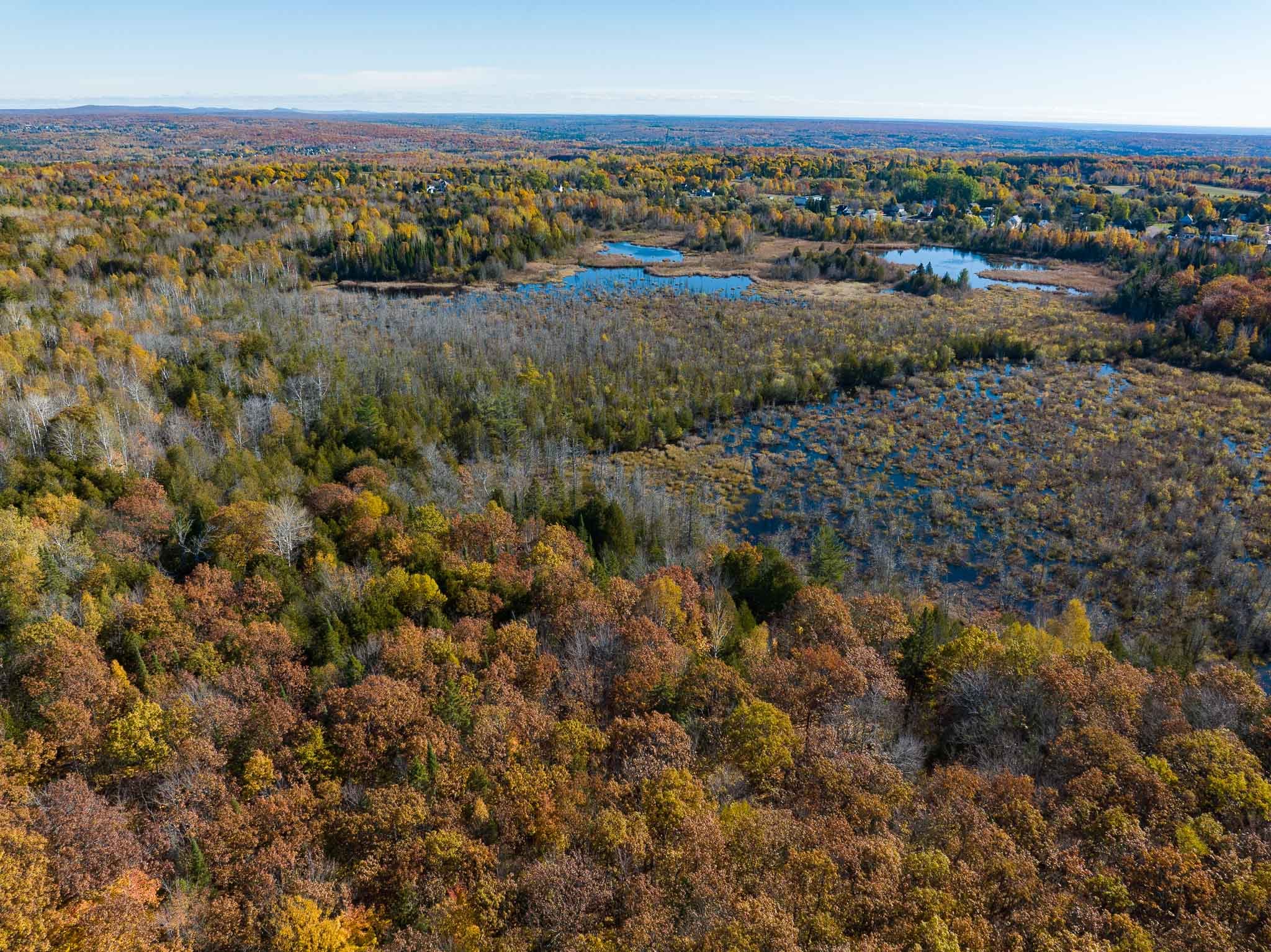
The Map
Police reports from the 1980s mention many key locations where evidence was discovered and point to the general area where Karl’s partial remains were found. The below map also includes waypoints for other areas of interest, such as the former homes of the Heikell family and individuals who claimed to see Karl on the day he disappeared.
The map also includes two routes, labeled “Palovaara’s Suspected Route - 1” and “Palovaara’s Suspected Route - 2”. These routes are included to help highlight the approximate location of Karl’s remains. In the original reports, when police postulate on the route a suspect may have taken from Pine Street in Calumet to the area where Karl’s body was discovered, they help us to pinpoint the approximate location of his remains. However, the police description of the route leaves some room for interpretation, so I’ve included two separate possible routes based on their documentation.
You can read more about my efforts to approximate the location of Karl’s remains in a blog post, Mapping the Location, here.